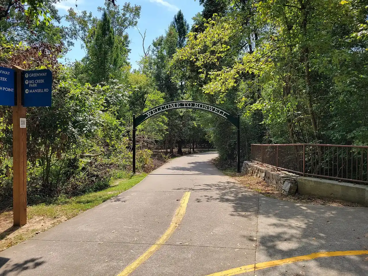
The Holcomb Bridge Road and Georgia 400 area of Roswell is mostly in ZIP 30076 and zoned mainly for Centennial High. Zillow: $582,171 in August 2026.
Last checked Oct. 5, 2026. Sources: the City of Roswell’s 2045 Comprehensive Growth Plan (PDF) and parks list, Fulton County Schools address map data and 2025-26 zone map, the state’s 2025 School Grades data, Zillow Research, MARTA and OpenStreetMap.
This is the middle of Roswell, where Holcomb Bridge Road crosses Georgia 400 at exit 7. The city’s 2045 plan makes the interchange one of five Activity Centers and says it “will evolve into Roswell’s premier gateway and a regional destination,” with jobs, hotels, health care and more housing. Around the offices and shopping centers are older subdivisions, apartment communities, the Groveway Community near Grimes Bridge Road and Big Creek Park.
What this means for you
- Zoned high school: Centennial High for 76% of addresses, Roswell High for 23%. Check yours with the district’s Find Your School lookup.
- Home value: $582,171 in ZIP 30076 in August 2026, according to the Zillow Home Value Index.
- Nearest Georgia 400 exit: exit 7, Holcomb Bridge Road, about 1.8 miles by road from Big Creek Park.
Part of our Roswell neighborhoods guide.
Where it is
The plan’s Holcomb Bridge Road/GA 400 Activity Center map (page 150) straddles Georgia 400: west of the highway along Holcomb Bridge Road toward Grimes Bridge Road, and east of it along Holcomb Bridge and Old Alabama Roads to Big Creek Park. Its “core” is the land closest to the interchange, including the Kimberly-Clark campus at 1400 Holcomb Bridge Road, which the plan calls “the most significant catalytic redevelopment opportunity” in the district. This page also takes in the neighborhoods zoned with it: from Grimes Bridge Road east to about Big Creek Park, north to the Mansell Road area east of Georgia 400, and south of Holcomb Bridge Road west of the highway toward Riverside Road.
The 2040 plan named the Groveway Community, east of downtown, and the city adopted a form-based code for it in 2012. OpenStreetMap marks North Shore, south of Holcomb Bridge Road, as a named place.
Of the 5,745 Roswell address points in this area in the Fulton County Schools map data, 67% are in ZIP code 30076 and 33% in 30075. About 18% carry a unit number, which marks apartments, condominiums and townhomes.
Schools
Share of this area’s address points in each zone, from the district’s map data on Oct. 5. Scores are 2025 College and Career Ready Performance Index (CCRPI) figures from the state’s School Grades report; the state averages were 78.6 for elementary, 78.4 for middle and 76.9 for high schools.
| Level | School | Share of addresses | 2025 CCRPI |
|---|---|---|---|
| High | Centennial High (report card) | 76% | 88.5 |
| High | Roswell High (report card) | 23% | 85.3 |
| Middle | Haynes Bridge Middle (report card) | 49% | 87.8 |
| Middle | Holcomb Bridge Middle (report card) | 27% | 74.8 |
| Middle | Elkins Pointe Middle (report card) | 24% | 83.5 |
| Elementary | Esther Jackson Elementary (report card) | 25% | 81.0 |
| Elementary | Vickery Mill Elementary (report card) | 21% | 84.6 |
| Elementary | Mimosa Elementary (report card) | 19% | 64.4 |
| Elementary | Northwood Elementary (report card) | 18% | 95.5 |
| Elementary | Hillside Elementary (report card) | 17% | 75.0 |
This is one of the most divided areas in Roswell for school zones: five elementary zones and three middle school zones meet here, and the line between Roswell High and Centennial High runs through it. Check the exact address. Northwood Elementary, 10200 Wooten Road, is inside the area. Zone maps for every school are on the district’s attendance zones page.
Home values
The typical home value in ZIP 30076 was $582,171 in August 2026, up 0.85% from $577,243 in August 2025, according to the Zillow Home Value Index. The index is a modeled typical value for the middle third of homes, not a sale price. The figure for ZIP 30075, which covers the west edge of this area, was $703,778. The citywide Roswell figure was $653,146, up 1.26% on the year. Recent sales are in our weekly real estate transfers.
Parks and trails
From the city’s parks list:
- Big Creek Park, 1600 Old Alabama Road, on Big Creek east of Georgia 400
- Groveway Community Park, 160 Frank Lewis Drive
- Don White Memorial Park, 925 Riverside Road, south of Holcomb Bridge Road
Grimes Bridge Park, 830 Grimes Bridge Road on the city’s parks map, reopened its improved soccer fields in September, according to the city’s Roswell Connections news site. The 2045 plan lists completing the Big Creek Trail and the Old Alabama multiuse trail, which would link to the Riverwalk along the Chattahoochee. More things to do are in our weekend guide.
Getting around
- Georgia 400: exit 7, Holcomb Bridge Road, is about 1.8 miles by road from Big Creek Park; exit 8, Mansell Road, about 3.8 miles. Exit numbers are from OpenStreetMap.
- Downtown: about 4.2 miles by road from Big Creek Park to City Hall, 38 Hill St.
- Airport: about 32 miles by road to Hartsfield-Jackson Atlanta International Airport. Distances are measured on the OpenStreetMap road network with the OSRM routing engine; they are distances, not drive times.
- MARTA: route 185 stops here, according to MARTA’s schedule data. It runs between North Springs station and the Windward park-and-ride. Route 140 stops on North Point Parkway at Mansell Road, just outside the city, about 0.4 mile from Big Creek Park in a straight line.
- Planned: the 2045 plan says the Georgia 400 Express Lanes and bus express lane transit include a proposed station at this interchange, and the city’s Big Creek Parkway project would add an east-west road across Georgia 400.
Groceries and everyday stores
OpenStreetMap lists no supermarket inside this area’s outline. The nearest are Publix, 1425 Old Alabama Road, just south of Holcomb Bridge Road in Martin’s Landing, and Lidl, 690 Holcomb Bridge Road, in Midtown.
How we drew this area
The name and core come from the Holcomb Bridge Road/GA 400 Activity Center in the city’s 2045 plan. The edges with Midtown, Uptown, East Roswell and Martin’s Landing follow main roads and are approximate. School and ZIP shares come from every Roswell address point inside the outline in the Fulton County Schools map service, checked Oct. 5, 2026. Store locations are © OpenStreetMap contributors.
Frequently asked questions
What is the Holcomb Bridge Road and Georgia 400 area of Roswell?
It is one of five Activity Centers in the city’s 2045 plan: the land around exit 7 of Georgia 400, from Grimes Bridge Road east to Big Creek Park and Old Alabama Road. The plan calls it Roswell’s premier gateway.
What high school is the Holcomb Bridge and Georgia 400 area zoned for?
Centennial High for 76% of the area’s addresses in the Fulton County Schools map data, Roswell High for 23% and Milton High for 1%. Five elementary zones meet here, so check the exact address.
Where is Big Creek Park in Roswell?
At 1600 Old Alabama Road, east of Georgia 400, according to the city’s parks list. The 2045 plan lists completing the Big Creek Trail and the Old Alabama multiuse trail as projects for the area.
Is there a transit station planned at Holcomb Bridge Road and Georgia 400?
The city’s 2045 plan says planned bus express lane transit on Georgia 400 includes a proposed station at the Holcomb Bridge Road interchange, tied to the Georgia 400 Express Lanes project.
Have your say