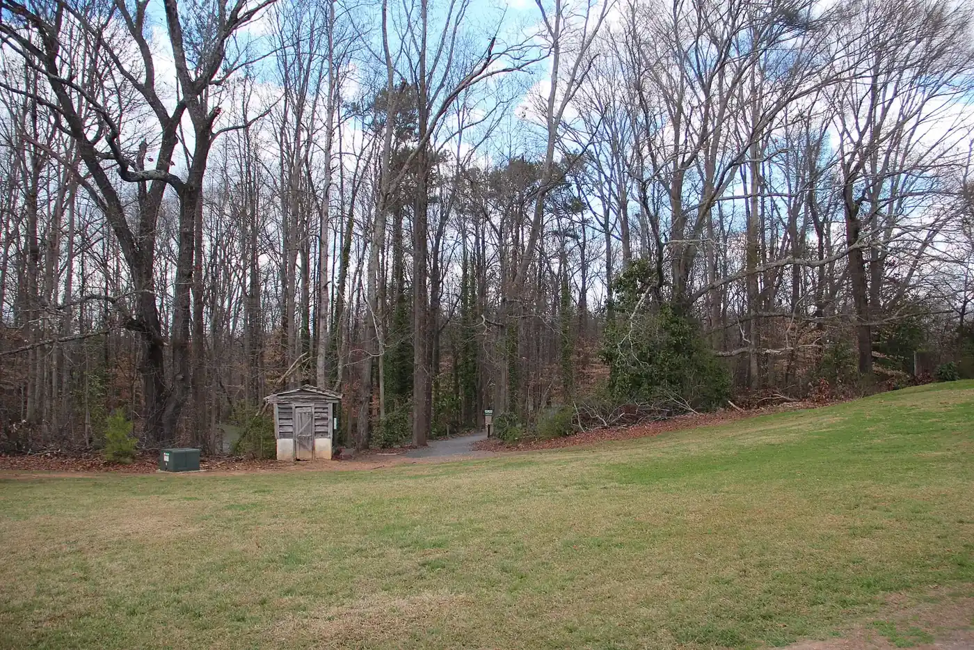
Northwest Roswell, around Arnold Mill and Hardscrabble Roads, is in ZIP 30075 and zoned mainly for Roswell High. Zillow: $703,778 in August 2026.
Last checked Oct. 5, 2026. Sources: the City of Roswell’s 2045 Comprehensive Growth Plan (PDF), its character areas map layer and parks list, Fulton County Schools address map data and 2025-26 zone map, the state’s 2025 School Grades data, Zillow Research, MARTA and OpenStreetMap.
Northwest Roswell is almost all homes: only 1% of its addresses carry a unit number, and there are no supermarkets inside it. Roswell High and Mountain Park Elementary are here, and Leita Thompson Memorial Park sits on its south edge on Woodstock Road. OpenStreetMap names Arnold Mill, at the north tip, as a place, along with several subdivisions such as Sweet Apple Crossing and Litchfield Hundred.
What this means for you
- Zoned high school: Roswell High for 85% of addresses, Milton High for 15%. Check yours with the district’s Find Your School lookup.
- Home value: $703,778 in ZIP 30075 in August 2026, according to the Zillow Home Value Index.
- Nearest Georgia 400 exit: exit 7, Holcomb Bridge Road, about 5.1 miles by road from Roswell High.
Part of our Roswell neighborhoods guide.
Where it is
This page covers the northwest of the city: north of Woodstock Road (Georgia 92) and King Road, west of Crabapple Road and Etris Road, up to the city lines with Milton and the small city of Mountain Park, with Cobb County to the west. Arnold Mill Road, Hardscrabble Road, Cox Road and Mountain Park Road are the main roads.
On the city’s character areas map, about 71% of the area’s addresses fall in the Neighborhood Residential category and 17% in Estate Residential. The 2045 plan says homes in the estate area “will continue to share an estate lot pattern,” and that most of it “is not currently served by sewer and therefore has limited future development potential.” It calls the area “automobile dependent and not walkable” today and wants trails and sidewalks to link subdivisions.
Of the 4,255 Roswell address points in this area in the Fulton County Schools map data, all but seven are in ZIP code 30075.
Schools
Share of this area’s address points in each zone, from the district’s map data on Oct. 5. Scores are 2025 College and Career Ready Performance Index (CCRPI) figures from the state’s School Grades report; the state averages were 78.6 for elementary, 78.4 for middle and 76.9 for high schools.
| Level | School | Share of addresses | 2025 CCRPI |
|---|---|---|---|
| High | Roswell High (report card) | 85% | 85.3 |
| High | Milton High (report card) | 15% | 92.8 |
| Middle | Elkins Pointe Middle (report card) | 55% | 83.5 |
| Middle | Crabapple Middle (report card) | 41% | 86.0 |
| Middle | Northwestern Middle (report card) | 4% | 87.0 |
| Elementary | Sweet Apple Elementary (report card) | 55% | 94.6 |
| Elementary | Mountain Park Elementary (report card) | 41% | 97.8 |
| Elementary | Crabapple Crossing Elementary (report card) | 4% | 93.3 |
Roswell High, 11595 King Road, and Mountain Park Elementary, 11895 Mountain Park Road, are inside the area. Roswell High had 2,036 students in the federal 2023-24 count. Elementary and middle zones are split, so check the exact address. Zone maps for every school are on the district’s attendance zones page.
Home values
The typical home value in ZIP 30075 was $703,778 in August 2026, up 1.27% from $694,956 in August 2025, according to the Zillow Home Value Index. The index is a modeled typical value for the middle third of homes, not a sale price. ZIP 30075 covers the whole west side of Roswell, not only this area. The citywide Roswell figure was $653,146, up 1.26% on the year. Recent sales are in our weekly real estate transfers.
Parks and trails
From the city’s parks list:
- Leita Thompson Memorial Park, 1200 Woodstock Road
- Off-Leash Dog Park at Leita Thompson Memorial Park, 1355 Woodstock Road
Sweet Apple Park, 11850 Crabapple Road, is just east in the Crabapple Road area. More things to do are in our weekend guide.
Getting around
- Georgia 400: exit 7, Holcomb Bridge Road, is about 5.1 miles by road from Roswell High; exit 8, Mansell Road, about 6.9 miles. Exit numbers are from OpenStreetMap.
- Downtown: about 4.1 miles by road to City Hall, 38 Hill St.
- Airport: about 35 miles by road to Hartsfield-Jackson Atlanta International Airport. Distances are measured from Roswell High, 11595 King Road, on the OpenStreetMap road network with the OSRM routing engine; they are distances, not drive times.
- MARTA: no MARTA bus stops are inside the area, according to MARTA’s schedule data. The nearest is the stop on Mansell Road at East Crossville Road, served by routes 85 and 185, about 2.5 miles from Roswell High in a straight line.
- Main roads: Arnold Mill Road, Hardscrabble Road, Cox Road and Woodstock Road.
Groceries and everyday stores
OpenStreetMap lists no supermarket or pharmacy inside the area. The nearest are Publix, 885 Woodstock Road, and CVS Pharmacy, 1380 Woodstock Road, in the Woodstock Road area; Publix, 270 Rucker Road, in the Crabapple Road area; and Publix, 4750 Alabama Road, just west of the city line.
How we drew this area
There is no plan district for the northwest, so the page is named for its main roads, and OpenStreetMap names Arnold Mill as a place at its north end. The edges with Woodstock Road and Crabapple Road follow main roads and are approximate. School and ZIP shares come from every Roswell address point inside the outline in the Fulton County Schools map service, checked Oct. 5, 2026. Store locations are © OpenStreetMap contributors.
Frequently asked questions
Where is the Arnold Mill and Hardscrabble area of Roswell?
The northwest of the city, north of Woodstock Road and west of Crabapple and Etris Roads, up to the Milton and Mountain Park city lines. Arnold Mill, Hardscrabble, Cox, King and Mountain Park Roads cross it.
What high school is northwest Roswell zoned for?
Roswell High, at 11595 King Road, for 85% of the area’s addresses in the Fulton County Schools map data, and Milton High for 15%. Elementary is Sweet Apple (55%), Mountain Park (41%) or Crabapple Crossing (4%).
Are there stores in the Arnold Mill area of Roswell?
OpenStreetMap lists no supermarket inside it. The nearest are Publix at 885 Woodstock Road and at 270 Rucker Road in Roswell, and a Publix at 4750 Alabama Road just west of the city line.
What is the typical home value in Roswell ZIP code 30075?
Zillow put it at $703,778 in August 2026, up 1.27% from $694,956 a year earlier. It is a modeled typical value, not a sale price.
Have your say